Fourteen Days, One Sea
A two‑week cruising itinerary for the Bahamas — from the first crossing out of South Florida to the pink sands of Eleuthera, traced through five archipelagos that begin where the urban edge ends.
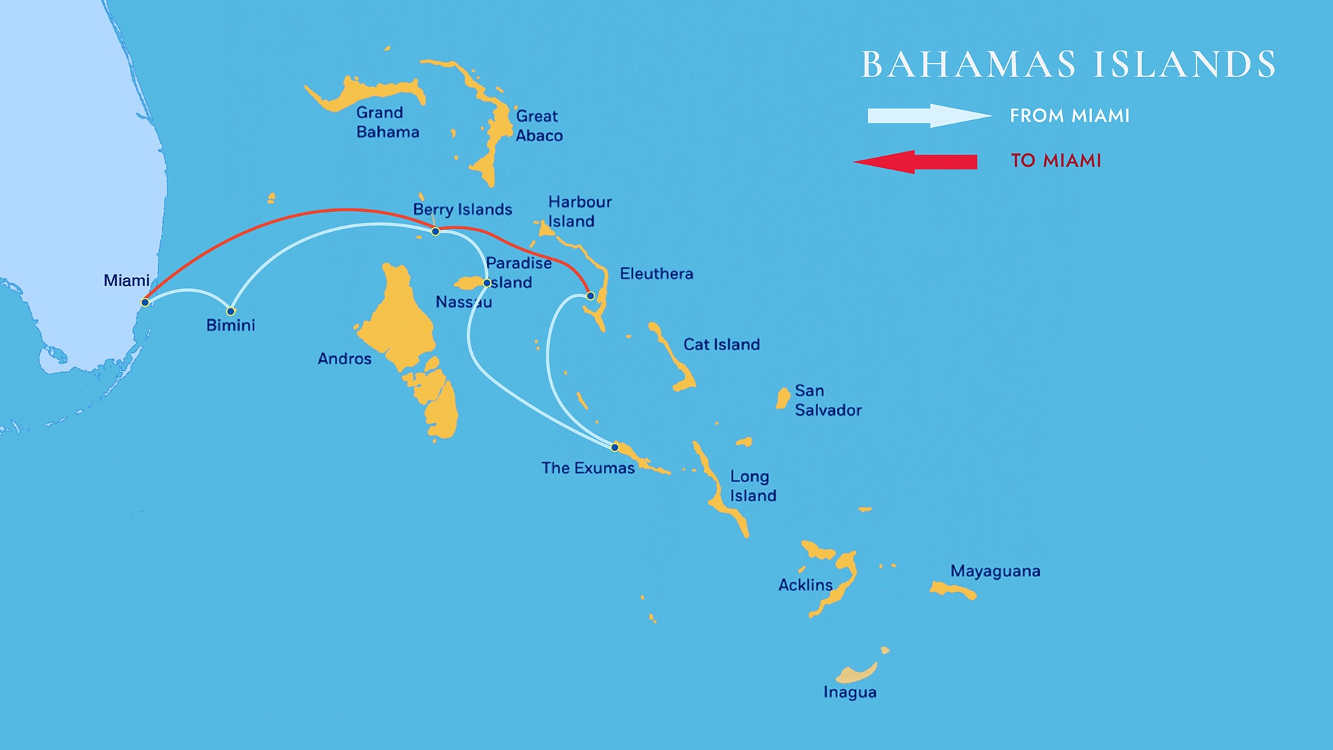
The Bahamas open immediately to the east of South Florida and contain, by general consensus, some of the most beautiful tropical cruising water on earth. Every boater eventually composes a preferred route through them. The one that follows is built for the cruiser who has been to the islands a handful of times rather than dozens — a fortnight that prioritises rhythm, breadth and the slow clarification of why this archipelago refuses to be confused with anywhere else.
A geographical correction is in order before the route begins. The Bahamas sit north of the Greater Antilles and southeast of Florida, and despite the popular shorthand they are part of the North Atlantic Ocean, not the Caribbean. The archipelago comprises some 700 small islands and 2,400 cays distributed across roughly 13,878 square kilometres. Just over thirty of those islands are inhabited, with a combined population a little above 380,000.
Many of the islands and cays receive almost no tourism, and that is exactly where their hold on the cruising imagination begins. There is an urban Bahamas — concentrated, brightly lit, predictable — and there is the other Bahamas, which is the reason most boats make the crossing in the first place: anchorages without infrastructure, beaches without footprints, miles of coastline empty of anything that resembles a hotel. The fortnight that follows tries to honour both, in their proportions.
in the chain
cays
to Bimini
at sea
Bimini, the threshold
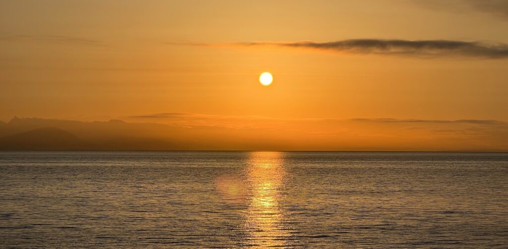
The first leg of any Bahamas itinerary is a short one by the standards of what comes next: roughly fifty nautical miles from South Florida to Bimini, across the deep blue water of the Gulf Stream. The crossing is brief, but its purpose is more than logistical. It is the moment to acclimatise, to clear immigration and customs, and to anchor for the night with paperwork in order so that the next morning can be spent moving rather than waiting.
For first-time cruisers, a full day at this nearest point of the Bahamas to the United States is not wasted. Velvety sand beaches, small shops, and the particular quality of a Bimini sunset are part of the introduction the islands offer. The preferred anchorage sits in front of the Big Game Club docks in Alice Town, where the marina provides a tender approach to the village; a second option lies at the harbour's north end, near Resorts World. As at every anchorage in the Bahamas, the discipline is the same — confirm that the anchor is well set, and watch the strong currents that run through the port at Bimini.
Through the channel, into the rhythm
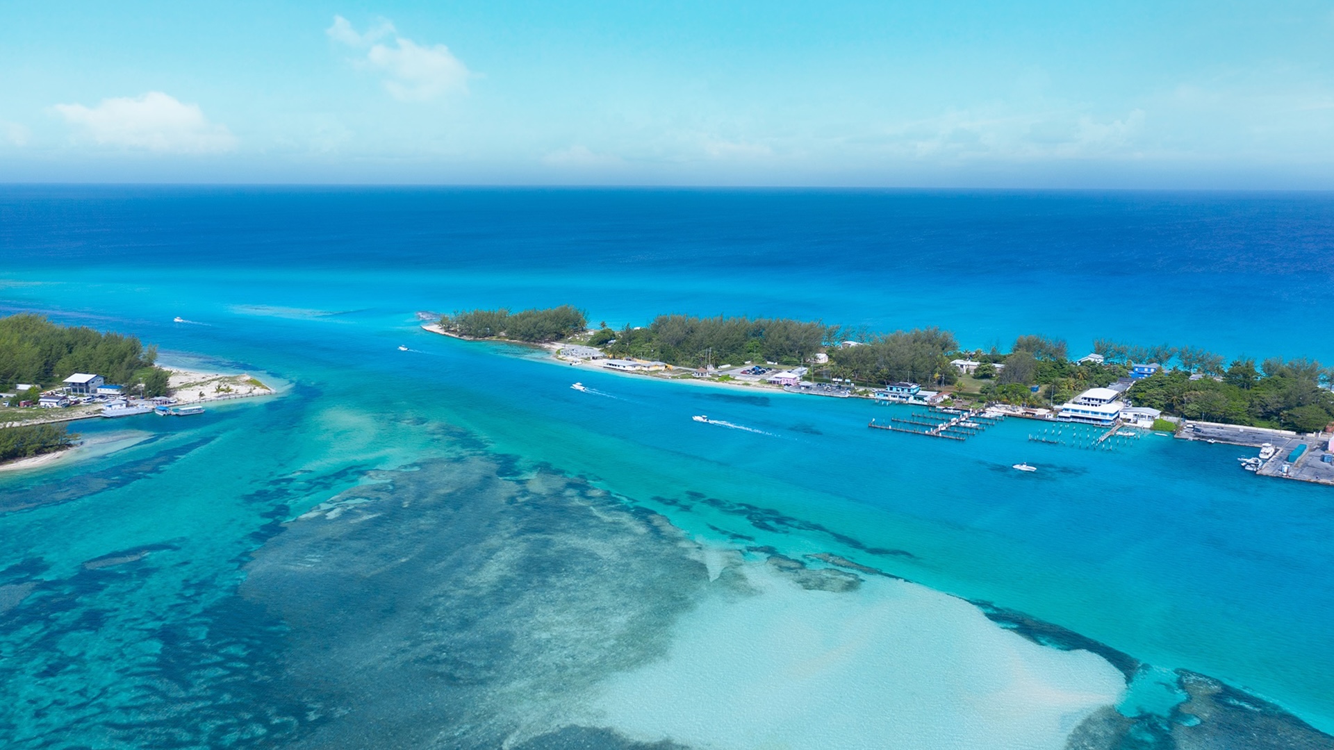
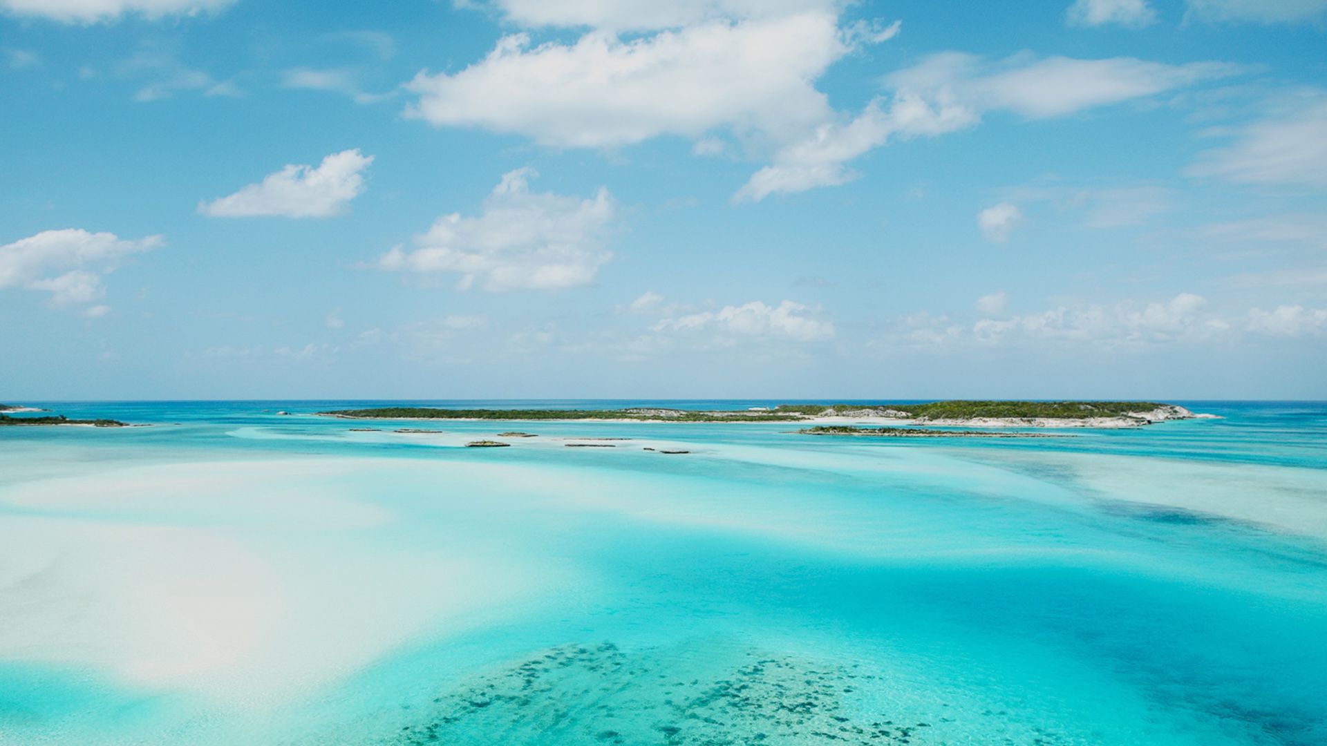
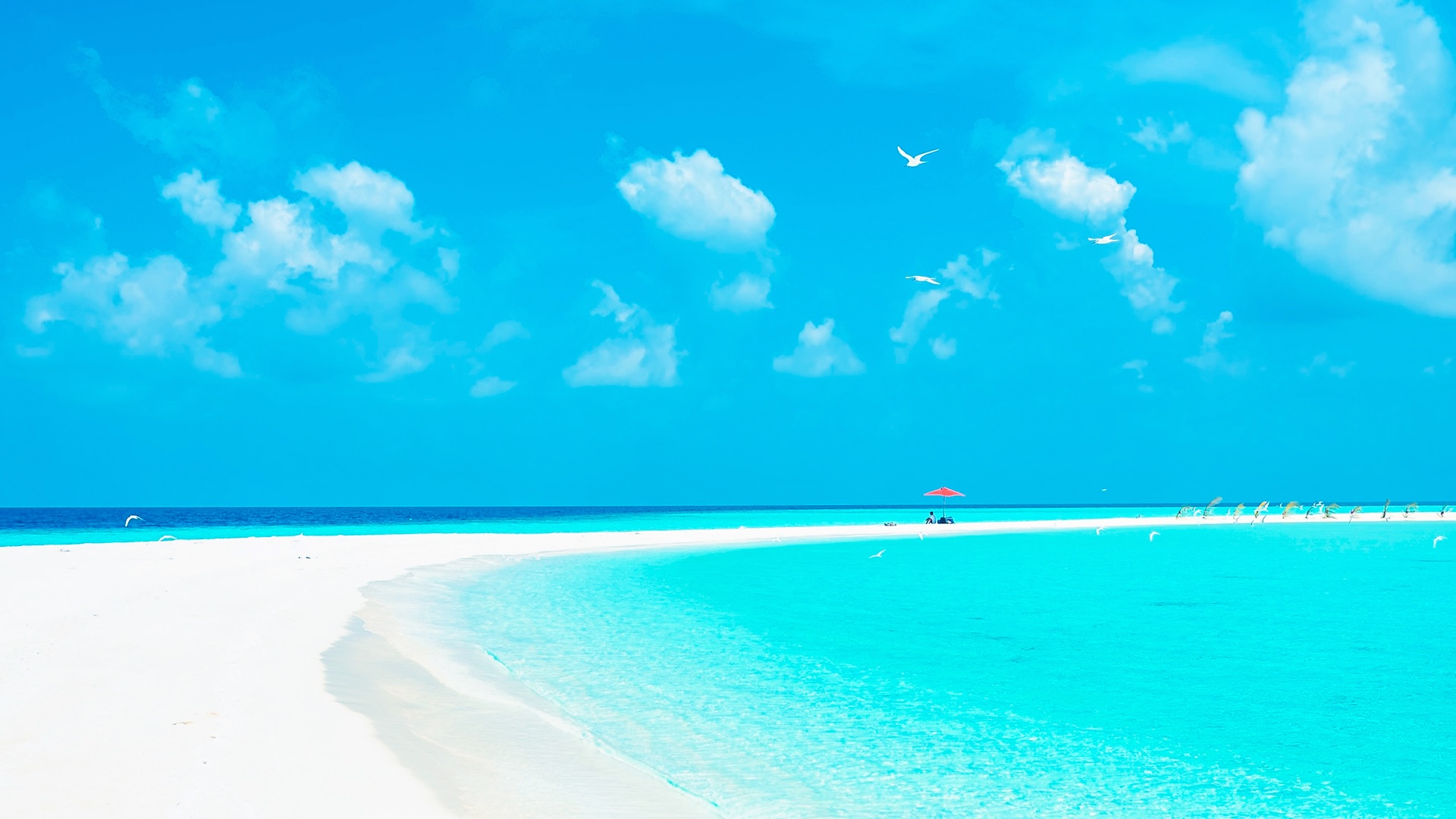
The approach into Bimini reads, on a chart, as a narrow line of safe water through reef and sand. In practice it sets the tone for everything that follows — the first transition from blue water to the impossibly graded turquoise that the Bahamas are known for, and the first moment a Florida cruiser realises the colour is not a postcard exaggeration.
Bimini's other gift is scale. The island is small enough to be walked. Two days here is not too much, and one day is not too little — the choice depends only on how much of the rest of the itinerary an owner is willing to compress.
Where the Bahamas begin to read themselves
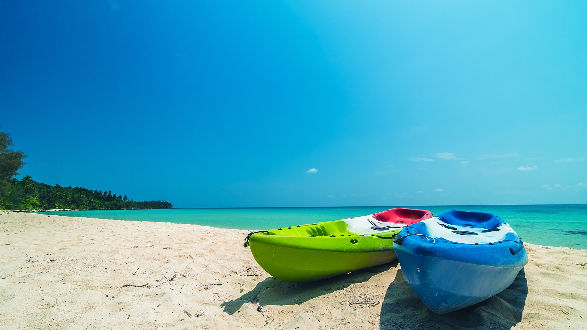
A pair of kayaks pulled up on Bimini sand is the kind of image that flattens into cliché elsewhere and refuses to here — because the colour of the water behind them is the actual operating condition of this corner of the archipelago, not a filter. The visual register of the next thirteen days is established in this single shoreline.
Practical preparations matter at this point: provisions topped up where needed, dinghy and outboard checked, weather window confirmed for the eastward run to the Berry Islands. The next leg will be longer than this one, and the next anchorage less serviced.
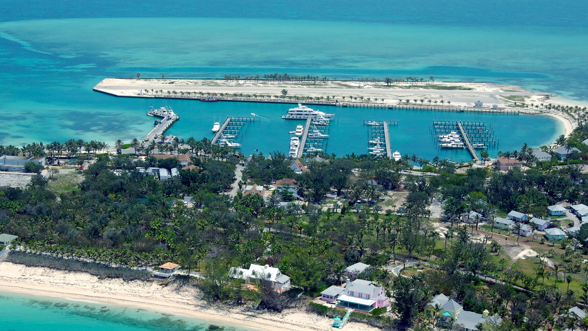
Berry Islands, the quiet middle
From Bimini, the next destination lies ninety‑five nautical miles to the east: the Berry Islands, a thirty‑island chain that has remained, by Bahamian standards, conspicuously underdeveloped. Deeper‑draft boats find better water on the northern route — north out of Bimini to North Rock, then east to Great Harbour at the chain's northern end.
The anchorage at Bullocks Harbor offers an easy dinghy approach to the town pier. The seabed in this area carries a fair amount of grass, so it is wise to look for a clear sand patch before letting the anchor down. Inside Hawksnest, on the eastern side of Great Harbour Cay, lies a more spectacular option — a long stretch of white sand beach and several miles of sheltered water.
A chain mostly uninhabited
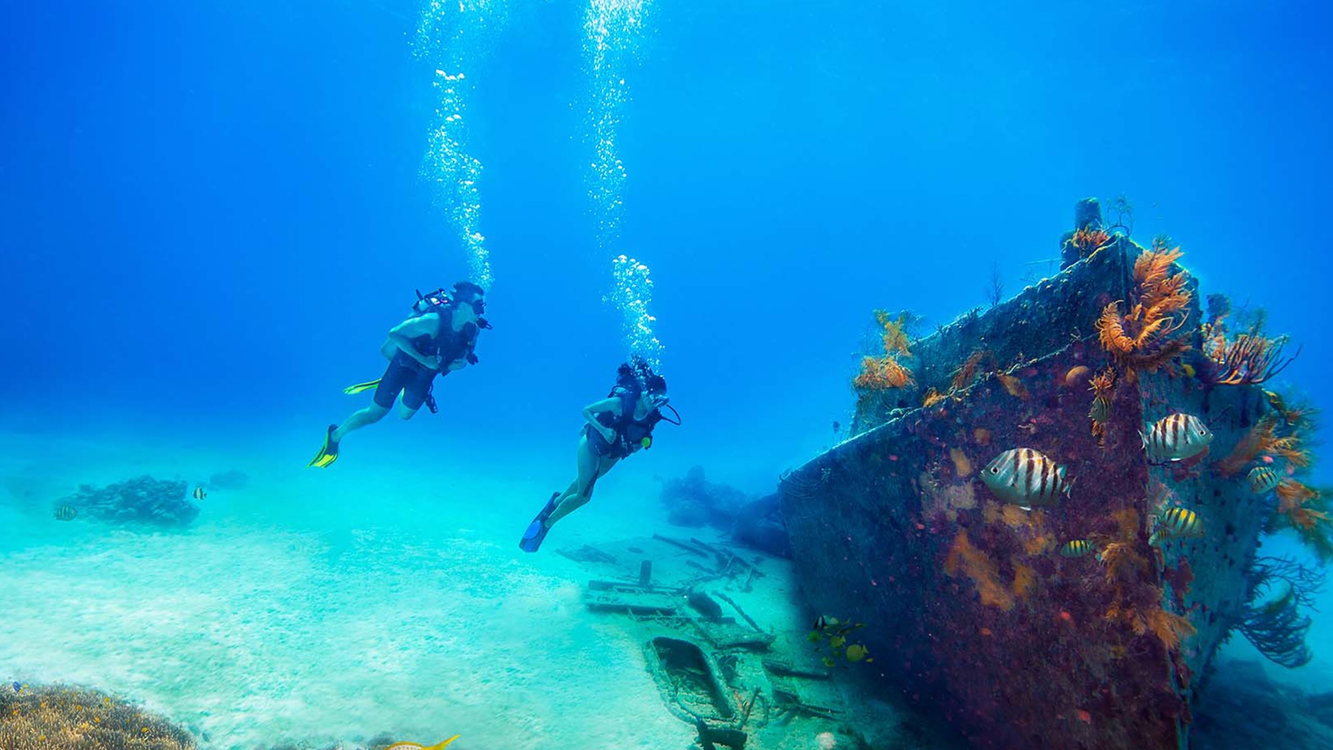
Most of the thirty Berry Islands are uninhabited, and that absence is the principal attraction. Cruisers who come this far for quiet are rewarded immediately. Great Stirrup Cay is a near‑perfect snorkelling station, with reef fish active in water shallow enough to read clearly from the deck.
Chub Cay sits ringed by reefs that reward longer time in the water. Snorkelling, lobster fishing and a wider mixed catch are available across the chain, and the main marina anchors a small cluster of restaurants where the seafood arrives, by definition, recently caught.
Soldier, Hoffman's, White and Fowl
For boaters who want to push the privacy register further, Soldier Cay, Hoffman's Cay and the pair of White and Fowl Cays open additional possibilities. None of these are heavily charted in cruising guides; all of them, on the right day, can deliver an anchorage that the rest of the cruising world appears to have forgotten.
From the Berries, the next leg turns south. The transition is dramatic — from a chain whose appeal is its emptiness to one of the most photographed urban skylines in the islands.
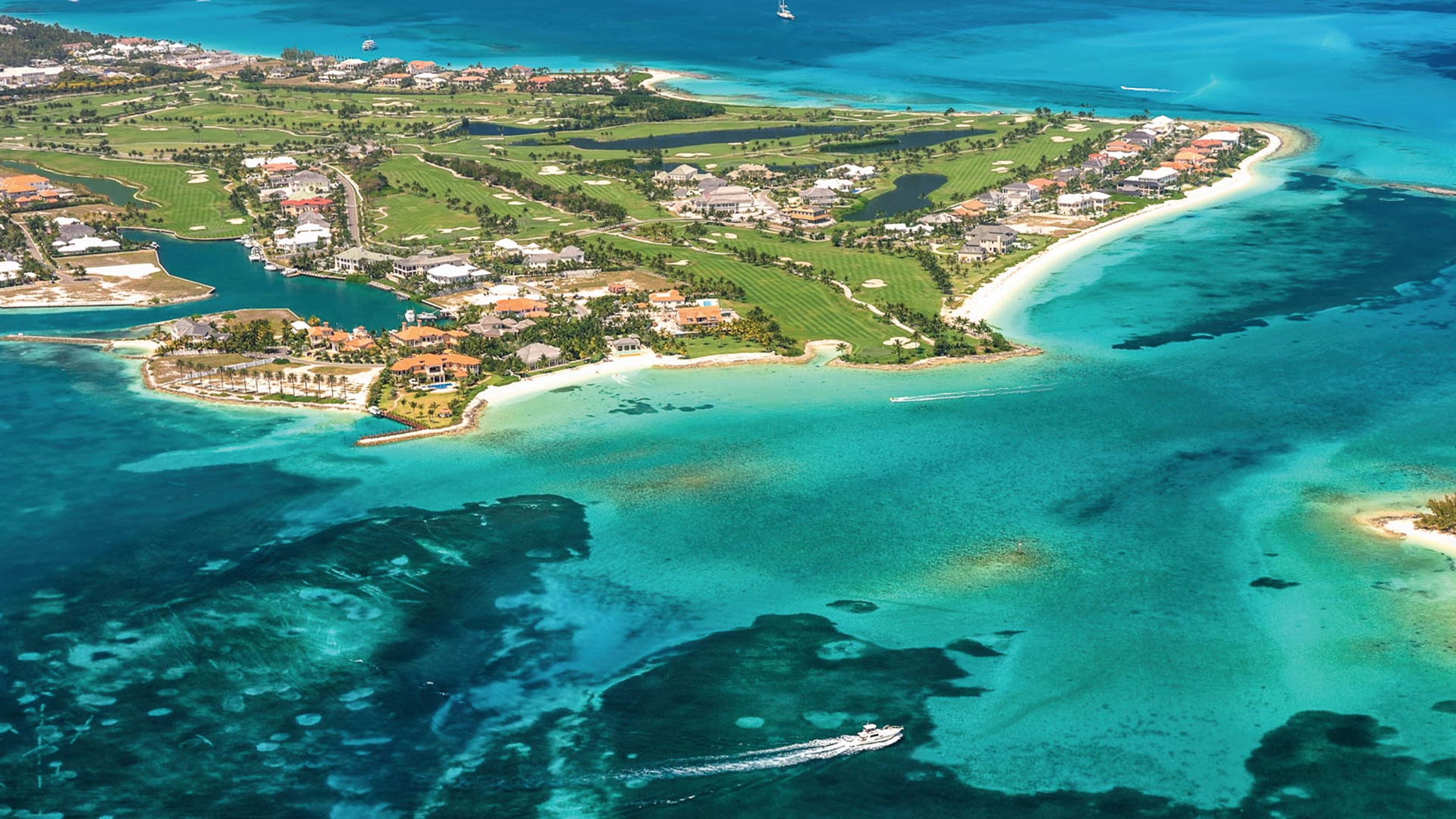
New Providence & Paradise, the urban Bahamas
Linked by a single bridge, New Providence and Paradise Island form the glamorous, brightly lit duo at the centre of any Bahamas cruise — a portion of the archipelago whose beaches, casinos, nightclubs, shops and restaurants sometimes give the impression of a Miami or Las Vegas relocated to the Atlantic. Even here the choice is wide. An owner can choose an internationally rated spa or stay close to nature, in a more relaxed tropical key; both registers coexist within an hour's tender ride of each other.
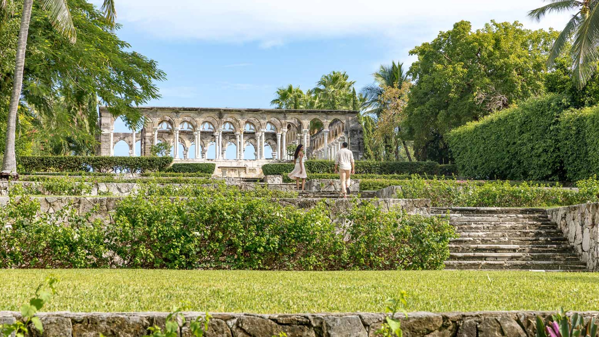
For families and visitors who want classic, large‑scale entertainment, Paradise Island is home to the world's largest open‑air aquarium. Visits to the Versailles Gardens and French Cloisters, Predator Lagoon, Christ Church Cathedral, the Bahamas Heritage Museum, the Queen's Staircase and the Pirates of Nassau Museum, the Nassau National Gallery of the Bahamas, and the Marine Habitat at Atlantis are nearly obligatory for cruisers who prefer their port days set to a cultural rhythm.
For those who came to the islands precisely to escape that scale, the recommendation is simpler: anchor at Rose Island, northeast of New Providence. It is far from everything, and, more usefully, it is the natural launching point for the next leg — the long sail south into the Exumas.
Urban scale, then quiet
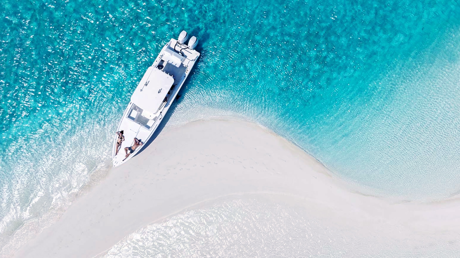
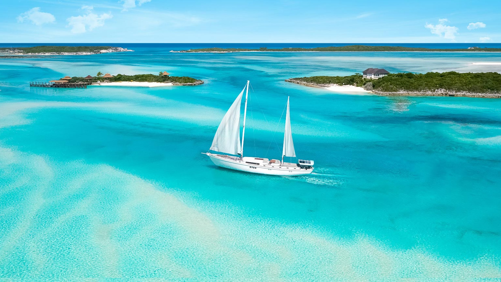
Three hundred staggeringly isolated cays, mostly free of any trace of human passage. The Exumas are the reason most cruisers came in the first place.
Exumas, the heart of the matter
The Exuma chain extends for more than three hundred staggeringly isolated cays. It is nearly impossible not to feel small when first sailing among them. The natural landscape is broad and, by any modern measure, almost untouched by human passage.
The crossing from Rose Island runs through the so‑called Yellow Banks — a stretch whose contribution to the scenery is matched only by the navigational care it demands. A route plotted carefully over deeper water on the chart is essential. So is high sun and a watchkeeper at the bow or the flybridge to read the way ahead.
As the route turns south into the chain proper, the daily legs shorten. Anchorages become abundant; the choice between them depends almost entirely on the wind protection a given day requires. From the northern entrance of the Exumas down to Georgetown in The Great Exuma, the temptation is to stop every ten minutes — and most cruisers, in practice, do.
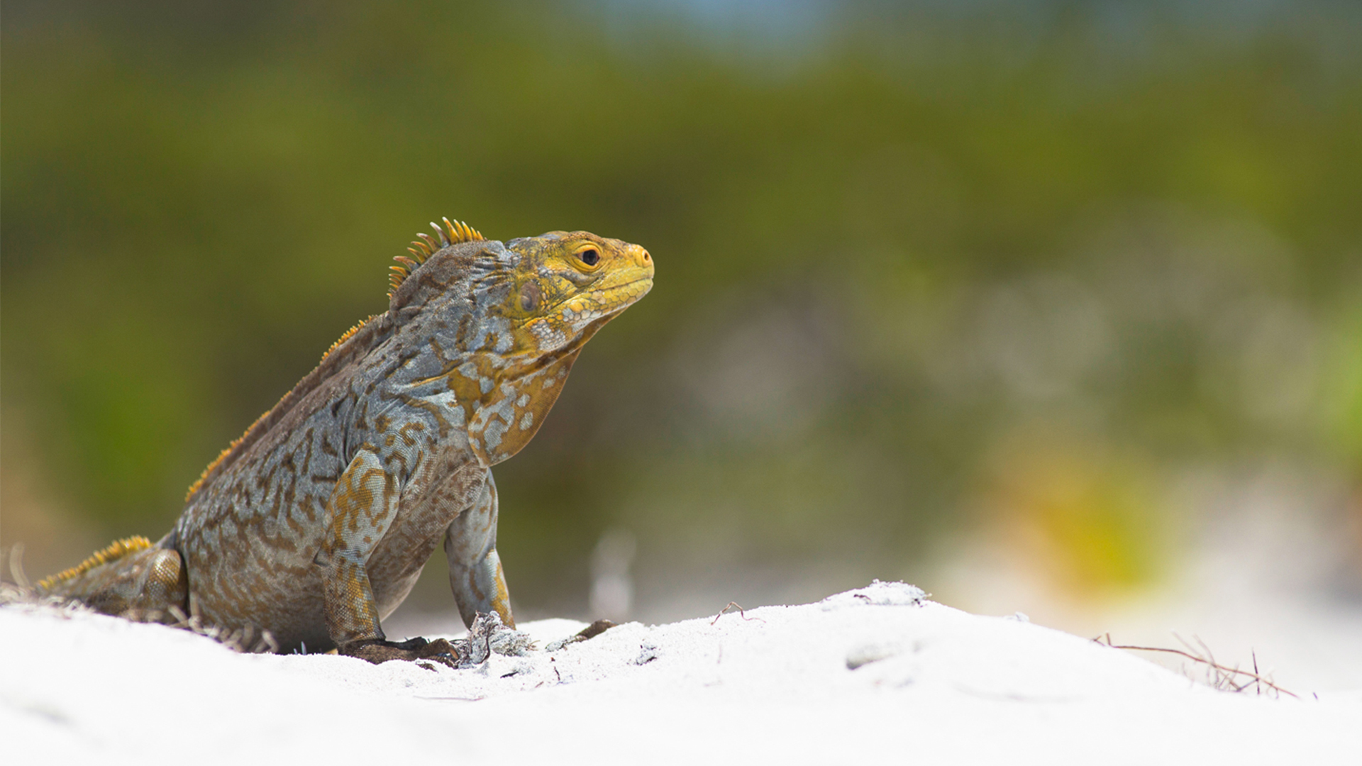
Four anchorages that justify the leg
A small island whose principal residents are the prehistoric‑looking Bahamian rock iguanas — a population endemic to a handful of cays, and one of the few wildlife encounters in the region that delivers on its promise.
Welcoming inner anchorages, a small but reliable shoreside scene, and the kind of overnight calm that compensates for any rougher weather encountered on the way down.
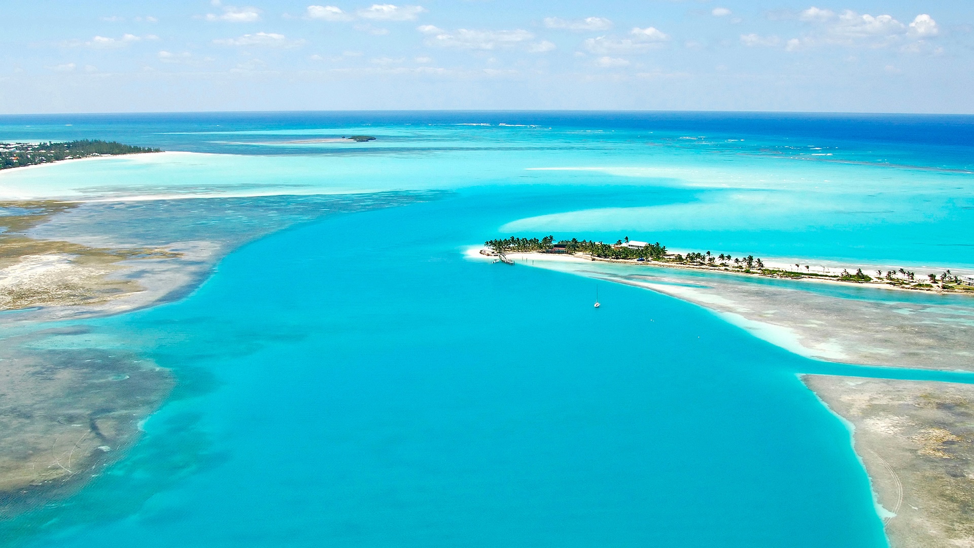
A protected anchorage at the heart of the Exuma Cays Land and Sea Park. It is, in the cruising consensus the route inherits, a strong contender for the most beautiful anchorage in the Bahamas — and a fair contender well beyond them.
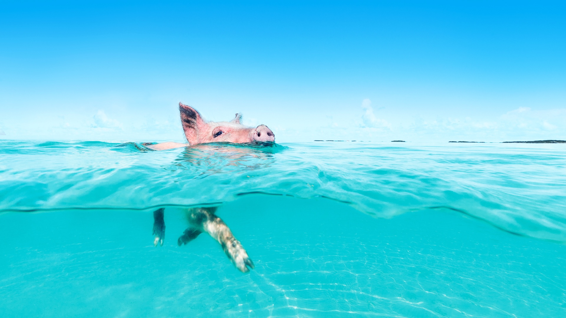
Staniel Cay opens onto the underwater Thunderball Grotto — a snorkel through a chamber of refracted light. Next door, the famous swimming pigs of Big Major remain, against expectations, exactly as advertised.
Sand, sundown, swimming pigs
Further south, the small settlement of Black Point is worth the stop, as is Farmer's Cay. From here, deeper‑draft vessels are advised to exit through Galliot Cut and run for Georgetown by way of Exuma Sound; smaller craft can stay inside the chain, working through Rat Cay, Square Rock or Glass Cay Cuts before turning out into Exuma Sound for the last run to Georgetown.
Georgetown itself is a full‑service marina town with the resources to support a longer pause: refuelling, provisioning, the small re‑contact with civilisation that prepares a cruiser for the second half of the route. It is, in practice, the natural midpoint of the fortnight — and the right place to recalibrate before the leg north to Eleuthera.
Eleuthera, the meeting of waters
Eleuthera is among the safest and most consistently rewarding islands in the Bahamas, and a destination of growing appeal for cruisers. It belongs geographically to the Grand Bahama Bank and runs, in profile, long and narrow on the chart. This portion of the archipelago is unusual because it is where the dark blue waves of the Atlantic Ocean meet the clearer waves of the Caribbean‑facing waters — a confluence visible from deck in the right light.
From Georgetown the route runs back up the western coast of the Exumas, retracing the way down as far as Warderick Wells. From there it crosses to the eastern side of the chain and pushes northeast in safe water to Powell Point in Eleuthera, before continuing directly to Rock Sound to anchor near the harbour.
A long, narrow island, generously serviced
North of Rock Sound, the anchorages multiply: South Palmetto Point, Governors Harbor, Hatchet Bay, Spanish Wells. None are far from any other, which is what makes the leg unusually relaxed by Bahamian standards. Spanish Wells alone deserves several days of exploration for its history, its small streets, and the texture of a community that grew up around the sea.
Eleuthera and its surrounding cays carry 210 miles of clean, attractive coastline — a long main island with a handful of villages, four cays of its own, and the Windermere group to the east.
Harbour Island, literally pink
Harbour Island is a key attraction along Eleuthera's eastern approach, but its best-known destination is Pink Sands Beach — where the sand is, by oxide content rather than rumour, pink. It is the kind of small geographical fact that proves more interesting in person than in description.
Beyond the headline, the inner parts of Eleuthera reward overland exploration. Roads cut through villages and along low ridges; locals are accessible and conversation is easy; full‑service marinas and resorts coexist with stretches of coastline where a boat can anchor undisturbed.
Beginning the return
From Eleuthera's northern tip, the route turns west‑northwest back to the northern end of the Berry Islands — a stop for provisions, and the formal beginning of the run home. From there, depending on the cruiser's preference and the boat's range, the choice is either a direct push to the Florida coast, or a final pause in Bimini for an extra day or two before crossing the Gulf Stream.
Most owners, on returning, find the second option harder to refuse than expected. The fortnight is structured to end where it began — at the threshold — and the discipline of the route is to leave both ends with an extra day in hand.
Five archipelagos in fourteen days — and a route that refuses, in the end, to be confused with anywhere else.